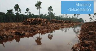
Covering around one third of the total land area of the planet, forests play a vital role not only in maintaining animal and plant diversity, but in helping to regulate the earth’s climate by absorbing and storing carbon dioxide from the atmosphere. Researchers Dr Edward Mitchard and Dr Murray Collins …
Read More »Mapping deforestation